While using rivers to divide states may seem conceptually simple, the natural tendency of river courses to change over time has caused complications. If you look carefully at maps and legal history, there are numerous territorial oddities and disputes that have arisen over the years.
For instance, a series of earthquakes in 1811-12 shifted the course of the Mississippi River in a way that stranded two Tennessee towns—Corona and Reverie—west of the river in what seems like it should be Arkansas. Upstream, the same earthquake, and a lack of precision by early surveyors, left a bit of land known as the Kentucky Bend completely surrounded by parts of Missouri and Tennessee. Meanwhile, Kentucky and Indiana have engaged in a protracted debate about which state owned a piece of land near Evansville that connects to Indiana if the river is low but becomes an island if water is high.
They change but much more slowly since they change with long term changes in terrain, as opposed to the natural weathering effect of a river, especially one that meanders.
Plus greater watershed boundaries tend to settle around mountain fronts or peaks as well as other such difficult terrains that are less prone to hosting large settlements that could hypothetically get cut off from their own greater metro area, and more likely to already form their own natural barriers just because that happens to be the places where water will begin moving in the other direction towards a different outlet.


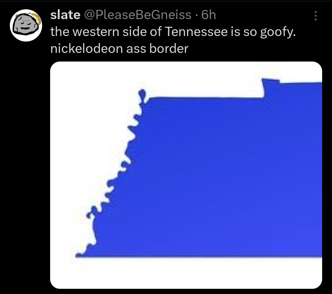
That squiggly line is the Mississippi river.
You’re the only one talking about rivers in this sub-thread. Not that watershed boundaries can’t change.
They change but much more slowly since they change with long term changes in terrain, as opposed to the natural weathering effect of a river, especially one that meanders.
Plus greater watershed boundaries tend to settle around mountain fronts or peaks as well as other such difficult terrains that are less prone to hosting large settlements that could hypothetically get cut off from their own greater metro area, and more likely to already form their own natural barriers just because that happens to be the places where water will begin moving in the other direction towards a different outlet.
Well I see now I commented on the wrong thread.